Polar Blast 19th to 21st June - Reports/Discussion
Forum rules
These topics are a read-only archive and may be subject to out-of-date information.
For today's weather discussion head to: New Zealand Weather & Climate
These topics are a read-only archive and may be subject to out-of-date information.
For today's weather discussion head to: New Zealand Weather & Climate
-
matttbs
- Posts: 466
- Joined: Mon 27/05/2013 19:16
- Location: Inland mayfield 310asl
- Has thanked: 1 time
- Been thanked: 7 times
Re: Polar Blast 19th to 21st June - Reports/Discussion
Currently 6.5deg and 15mm of rain since this morning. Temp slowly on the decline
Auckland & Tauranga
-
Classicford
- Posts: 129
- Joined: Tue 25/05/2010 16:51
- Location: Waimate
- Has thanked: 5 times
- Been thanked: 112 times
- Contact:
Re: Polar Blast 19th to 21st June - Reports/Discussion
Starting to settle quite nicely on that webcam.
Cheers,
Brendon.
Waimate, South Canterbury.
Brendon.
Waimate, South Canterbury.
-
Talbotm
- Posts: 262
- Joined: Fri 09/10/2009 10:26
- Location: Waddington, Canterbury 300msl
- Has thanked: 0
- Been thanked: 0
Re: Polar Blast 19th to 21st June - Reports/Discussion
Heres an interesting link i found. A darfield Forecast not sure how true but the total numbers could be interesting it has for 35mm tommorrow but if that turns to snow which it should there will be a good dump. 
http://www.darfield-weather.co.nz/wxforecast.php
http://www.darfield-weather.co.nz/wxforecast.php
-
shovelopikis

- Posts: 239
- Joined: Mon 03/06/2013 09:37
- Location: Taranaki
- Has thanked: 0
- Been thanked: 6 times
Re: Polar Blast 19th to 21st June - Reports/Discussion
Moderate rain falling steadily in hanmer over last 2 hours, getting colder here. Stores out of bread and other supplies.A
-
Bradley
- Posts: 1539
- Joined: Wed 01/05/2013 21:06
- Location: Christchurch
- Has thanked: 157 times
- Been thanked: 277 times
Re: Polar Blast 19th to 21st June - Reports/Discussion
Very inaccurate that site talbot for a forecast, i remember last year with metservice forecasting 9c for a max it was going for 19C for a max (it ened up with 8c max). I don't know why that fella uses weather underground for his forecast..
-
Talbotm
- Posts: 262
- Joined: Fri 09/10/2009 10:26
- Location: Waddington, Canterbury 300msl
- Has thanked: 0
- Been thanked: 0
Re: Polar Blast 19th to 21st June - Reports/Discussion
Yea i was just looking more at the moisture levels to be honest bradley. If you go by the totals of moisture he is talking for the whole event its looking around 66mms of moisture which is around 66cms snow for Darfield. Thats a good dump of snow if you ask me. 
-
sw_windbow
- Posts: 241
- Joined: Tue 13/06/2006 15:21
- Location: Dunedin
- Has thanked: 0
- Been thanked: 0
Re: Polar Blast 19th to 21st June - Reports/Discussion
6.7 degrees now and 7mm, 4mm of which was a short sharp dump at 4am.
Metservice have another much bigger short sharp dump in store for Dunedin this evening. 1 inch of rain in four hours, beginning from about 8pm. And about 35mm over 10 hours. After 150mm in the hills over the last few days this much rain in this little time could cause a lot more land slips and get the Leith raging. I predict the Leith will peak at 50 cumecs at 1.30am. This rain mass rolls up the East Coast and hits Chch at about 6am tomorrow, then lingers there. I think the flood potential for Inland/North Canterbury/Kaikoura must be massive.
Metservice have another much bigger short sharp dump in store for Dunedin this evening. 1 inch of rain in four hours, beginning from about 8pm. And about 35mm over 10 hours. After 150mm in the hills over the last few days this much rain in this little time could cause a lot more land slips and get the Leith raging. I predict the Leith will peak at 50 cumecs at 1.30am. This rain mass rolls up the East Coast and hits Chch at about 6am tomorrow, then lingers there. I think the flood potential for Inland/North Canterbury/Kaikoura must be massive.
Re: Polar Blast 19th to 21st June - Reports/Discussion
3.5 deg here in Gore with steady rain, down from a high of 6 deg. We normally miss out if Canterbury gets it.
-
Orion
- Posts: 4040
- Joined: Sun 08/08/2010 16:49
- Location: Ashburton, Mid-Canterbury, 110m asl.
- Has thanked: 1417 times
- Been thanked: 344 times
Re: Polar Blast 19th to 21st June - Reports/Discussion
Steady light to moderate rain in Ashburton, and in Mayfield to which I've just returned.
Felt sorry for few-weeks'-shorn sheep standing in muddy, rather bare paddocks...
4.9 degrees here now; barometer has dropped from 994.7 hPa at 9am to 990.4 hPa now.
Gentle to moderate breeze from south.
Felt sorry for few-weeks'-shorn sheep standing in muddy, rather bare paddocks...
4.9 degrees here now; barometer has dropped from 994.7 hPa at 9am to 990.4 hPa now.
Gentle to moderate breeze from south.
-
CHCH Weather Chaser

- Posts: 3460
- Joined: Thu 26/06/2008 16:10
- Location: Halswell / Hoon Hay Christchurch
- Has thanked: 0
- Been thanked: 0
Re: Polar Blast 19th to 21st June - Reports/Discussion
CHCH being sheltered to just light spotty rain. Can see it on the radar. 3mm today. Paddocks in flood still up the road with very little visible grass and knee deep water in some areas.
Reporting Live from Southern Christchurch
Leighton Thomas
2014 Rainfall: Jan: 21mm Feb: 76mm March: 170mm April: 201mm YTD: 468mm
Leighton Thomas
2014 Rainfall: Jan: 21mm Feb: 76mm March: 170mm April: 201mm YTD: 468mm
-
mikestormchaser
- Posts: 2717
- Joined: Sat 03/06/2006 20:11
- Location: Rolleston, Canterbury
- Has thanked: 361 times
- Been thanked: 622 times
Re: Polar Blast 19th to 21st June - Reports/Discussion
Looking like snow from later tomorrow night and through friday, so still looking to get a possible 5 to 15cm is my prediction for the city and surrounding areas close to christchurch.
Will be very interesting to watch tonight and throughout tomorrow.
Will be very interesting to watch tonight and throughout tomorrow.
Mike
Stormchasers.co.nz
Stormchasers.co.nz
-
TonyT

- Moderator
- Posts: 2893
- Joined: Thu 08/05/2003 11:09
- Location: Amberley, North Canterbury
- Has thanked: 354 times
- Been thanked: 1177 times
Re: Polar Blast 19th to 21st June - Reports/Discussion
One piece of the puzzle is falling into place now, on the satpix you can see the very cold air streaming past Doubtful Sound and swirling into the remains of the depression in the south Tasman Sea. This should ensure re-invigoration of the low and some cyclogenesis, which should help that low and trough strengthen over central districts tomorrow. That in turn is what will generate the heavy precip and strong pressure gradients onto the east coast.
The BOM AccessR model has the low centre down to 975hpa and just off Farewell spit at noon tomorrow. This should look very impressive on the satpix tomorrow.
The BOM AccessR model has the low centre down to 975hpa and just off Farewell spit at noon tomorrow. This should look very impressive on the satpix tomorrow.
-
einzack
- Posts: 401
- Joined: Sun 12/02/2012 10:21
- Location: Rolleston, Canterbury
- Has thanked: 5 times
- Been thanked: 44 times
Re: Polar Blast 19th to 21st June - Reports/Discussion
18mm of rain so far in Reefton today, though none was forecast. not particularly pleased about that.
wind turned SE around 1pm, but fairly gentle, as it always is here.
temp is dropping, but fairly gently at 1°C/hr since 2pm.
no snow forecast here, but we might see some spillover. would expect the lewis pass to be closed for a good few days.
forecast high temps from metservice for next 9 days from tomorrow remain at 6°C every day. think their keyboard got stuck.
-
GSVNoFixedAbode
- Posts: 108
- Joined: Mon 19/06/2006 21:45
- Location: Dunedin, NZ
- Has thanked: 2 times
- Been thanked: 18 times
Re: Polar Blast 19th to 21st June - Reports/Discussion
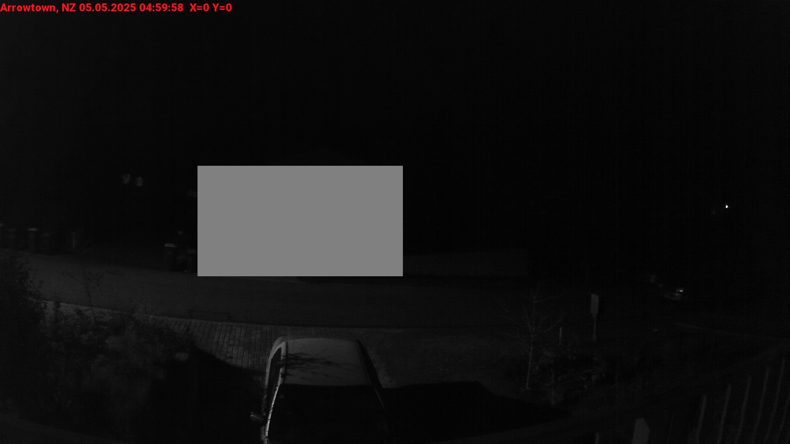
Arrowtown getting a nice dusting now.
You do not have the required permissions to view the files attached to this post.
I am Heisenborg: you will probably be assimilated.
Out the Dunedin window. And out the Arrowtown window. Arrowtown Weather Still battling for the Tunnels Trail
Out the Dunedin window. And out the Arrowtown window. Arrowtown Weather Still battling for the Tunnels Trail
-
Manukau heads obs
- Posts: 12305
- Joined: Mon 10/03/2003 16:30
- Location: West Coast Road, Manukau Peninsula, North Island
- Has thanked: 0
- Been thanked: 0
- Contact:
Re: Polar Blast 19th to 21st June - Reports/Discussion
Yes, I saw that too, and thought the same thing (that yup, that is the start of the new deep low)One piece of the puzzle is falling into place now, on the satpix you can see the very cold air streaming past Doubtful Sound and swirling into the remains of the depression in the south Tasman Sea.

-
Orion
- Posts: 4040
- Joined: Sun 08/08/2010 16:49
- Location: Ashburton, Mid-Canterbury, 110m asl.
- Has thanked: 1417 times
- Been thanked: 344 times
Re: Polar Blast 19th to 21st June - Reports/Discussion
9mm of rain for the event so far.
I meant to mention earlier, it seemed extraordinarily dark at 4pm.
Temp. down to 4.3 degrees now.
I meant to mention earlier, it seemed extraordinarily dark at 4pm.
Temp. down to 4.3 degrees now.
-
melja
- Posts: 2202
- Joined: Sun 11/06/2006 20:57
- Location: Waikawa, Picton
- Has thanked: 0
- Been thanked: 74 times
Re: Polar Blast 19th to 21st June - Reports/Discussion
Rain here all day and very wet under foot again with only 10mm so who only know what 80mm is going to do.
Maybe Rangiora being 30kms north of chch and higher(60m) and inland will get some snow Tony?
Tony?
Maybe Rangiora being 30kms north of chch and higher(60m) and inland will get some snow
Last edited by melja on Wed 19/06/2013 16:58, edited 1 time in total.
-
melja
- Posts: 2202
- Joined: Sun 11/06/2006 20:57
- Location: Waikawa, Picton
- Has thanked: 0
- Been thanked: 74 times
Re: Polar Blast 19th to 21st June - Reports/Discussion
Models do seem to be showing the cold air coming in a little more and a bit quicker.
-
Ice Maiden
- Posts: 137
- Joined: Sat 07/06/2008 15:51
- Location: Dunedin
- Has thanked: 7 times
- Been thanked: 20 times
Re: Polar Blast 19th to 21st June - Reports/Discussion
Well in Dunedin we have had rain most of the day and heavy at times but the temp failed to reach the predicted high of 8C until around 3.30pm when it suddenly shot up to the forecast 8C from 6C where it had hovered all day. Within the hour though it has dropped significantly now at 5.4C and looking quite murky again to the South
-
Avalanche
- Posts: 162
- Joined: Wed 09/06/2010 17:24
- Location: Wellington
- Has thanked: 20 times
- Been thanked: 6 times
Re: Polar Blast 19th to 21st June - Reports/Discussion
Hi Tony T, When you get that satpix can you post the picture here, im keeping a weather map and picture record of this event for future reference thanksTonyT wrote:One piece of the puzzle is falling into place now, on the satpix you can see the very cold air streaming past Doubtful Sound and swirling into the remains of the depression in the south Tasman Sea. This should ensure re-invigoration of the low and some cyclogenesis, which should help that low and trough strengthen over central districts tomorrow. That in turn is what will generate the heavy precip and strong pressure gradients onto the east coast.
The BOM AccessR model has the low centre down to 975hpa and just off Farewell spit at noon tomorrow. This should look very impressive on the satpix tomorrow.
-
TonyT
- Moderator
- Posts: 2893
- Joined: Thu 08/05/2003 11:09
- Location: Amberley, North Canterbury
- Has thanked: 354 times
- Been thanked: 1177 times
Re: Polar Blast 19th to 21st June - Reports/Discussion
I suggest you watch the weatherzone sat images, and also check out the Modis New Zealand pages tomorrow.
http://rapidfire.sci.gsfc.nasa.gov/subs ... NewZealand
http://rapidfire.sci.gsfc.nasa.gov/subs ... NewZealand
-
wembley
- Posts: 151
- Joined: Fri 22/03/2013 11:18
- Location: Cromwell
- Has thanked: 8 times
- Been thanked: 23 times
Re: Polar Blast 19th to 21st June - Reports/Discussion
Here in Central it is raining lightly with snow down on the hills. Cromwell may escape the worst of it
-
Avalanche
- Posts: 162
- Joined: Wed 09/06/2010 17:24
- Location: Wellington
- Has thanked: 20 times
- Been thanked: 6 times
Re: Polar Blast 19th to 21st June - Reports/Discussion
With this map in mind as its just like Aug 2011. I can see no reason why it wouldnt be snowing to sea level in the south (CHCH) especially as the colder surges of air start arriving. Does sea temp really make a different? Also a 528 thickness? either way its got a Antarctic air feed and thats gotta count surely. So snow to sea level or near sea level is possible i would have thought.
You do not have the required permissions to view the files attached to this post.
-
NZstorm

- Posts: 11333
- Joined: Mon 10/03/2003 19:38
- Location: Grey Lynn, Auckland
- Has thanked: 342 times
- Been thanked: 361 times
Re: Polar Blast 19th to 21st June - Reports/Discussion
The polar jet streak coming up from the south is 90kts at 500mb according to gfs!One piece of the puzzle is falling into place now, on the satpix you can see the very cold air streaming past Doubtful Sound and swirling into the remains of the depression in the south Tasman Sea. This should ensure re-invigoration of the low and some cyclogenesis
-
mikestormchaser
- Posts: 2717
- Joined: Sat 03/06/2006 20:11
- Location: Rolleston, Canterbury
- Has thanked: 361 times
- Been thanked: 622 times
Re: Polar Blast 19th to 21st June - Reports/Discussion
what does that mean for us nzstorm?? does the jet have a big say in snow aswel?
Mike
Stormchasers.co.nz
Stormchasers.co.nz