Canterbury storms (high risk) 28/2/14
Forum rules
These topics are a read-only archive and may be subject to out-of-date information.
For today's weather discussion head to: New Zealand Weather & Climate
These topics are a read-only archive and may be subject to out-of-date information.
For today's weather discussion head to: New Zealand Weather & Climate
-
mikestormchaser
- Posts: 2794
- Joined: Sat 03/06/2006 20:11
- Location: Rolleston, Canterbury
Re: Canterbury storms (high risk) 28/2/14
I'm wondering whether monday arvo could be storms.. checking some of the models, there looks to be another polar trough coming up, but has it skipping the east coast of the south island and the air looks rather dry, but if that could come onshore a tad more!!
Mike
Stormchasers.co.nz
Stormchasers.co.nz
-
NZstorm

- Posts: 11333
- Joined: Mon 10/03/2003 19:38
- Location: Grey Lynn, Auckland
Re: Canterbury storms (high risk) 28/2/14
I thought there may have been at least some elevated rumbles down there today.
What the Met Service need to do is provide a bit more information in their convective outlooks about why the decide to forecast a certain way. This is standard practice overseas.
Getting these cold troughs in Feb points to something unusual going on in the hemispheric circulations.
What the Met Service need to do is provide a bit more information in their convective outlooks about why the decide to forecast a certain way. This is standard practice overseas.
Getting these cold troughs in Feb points to something unusual going on in the hemispheric circulations.
-
Storm Struck

- Posts: 5056
- Joined: Wed 17/11/2004 21:25
- Location: Belfast Christchurch
Re: Canterbury storms (high risk) 28/2/14
Today the thing that ruined chances for the region was the present southerly from 8am onwards, I thought it may have been a good thing as sometimes it comes through early on the passage of the first front before swinging NE.
But you could tell it was a southerly to stay by the low cloud banking inland to the west and on the port hills, cloud tops were also weak but developed high up being pulled by the upper jet.
If a NE kicked in it could have been close to a repeat of Sunday, I think the convergence of NW and southerly along with the topography of the foothills got enough ramping near Oxford for brief weak storms.
Canterbury, home of good rugby and severe storms
-
treetop
- Posts: 316
- Joined: Sun 04/02/2007 20:29
- Location: katikati
Re: Canterbury storms (high risk) 28/2/14
I agree NZstorm although not as unusual as the northern hemisphere weather considering the dynamics of the "confused" jetstreams up there at present"
ttttttttttt
-
NZ Thunderstorm Soc
- Posts: 19101
- Joined: Wed 12/03/2003 22:08
- Location: Raukapuka Geraldine
Re: Canterbury storms (high risk) 28/2/14
I was thinking about this too this morning when people asked me at work , "Are we going to get some thunder today?" and my immediate answer was "No"NZstorm wrote:
What the Met Service need to do is provide a bit more information in their convective outlooks about why the decide to forecast a certain way. This is standard practice overseas.
Getting these cold troughs in Feb points to something unusual going on in the hemispheric circulations.
This was mainly because of the events last Sunday.
Today's scenario was slightly different, hence the NO answer.
JohnGaul
NZThS
NZThS
-
mikestormchaser
- Posts: 2794
- Joined: Sat 03/06/2006 20:11
- Location: Rolleston, Canterbury
Re: Canterbury storms (high risk) 28/2/14
Yeah im not exactly sure why they do this.. today was supposed to be a " high" risk when from this morning onwards it never looked like anything was going to happen, yet on days we have low risks all hell can break loose.NZstorm wrote:I thought there may have been at least some elevated rumbles down there today.
What the Met Service need to do is provide a bit more information in their convective outlooks about why the decide to forecast a certain way. This is standard practice overseas.
Getting these cold troughs in Feb points to something unusual going on in the hemispheric circulations.
Sometimes gets us weather enthuiests exciting for nothing
Mike
Stormchasers.co.nz
Stormchasers.co.nz
-
Richard
- Posts: 8720
- Joined: Tue 14/07/2009 07:32
- Location: Medbury, Inland North Canterbury
Re: Canterbury storms (high risk) 28/2/14
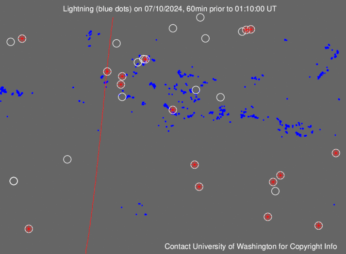
Anyone know why the lightning shows up around Oxford on http://wwlln.net/WWLLN_movies/Movie_of_ ... an_BIG.gif but didn't on blitzortung
-
NZ Thunderstorm Soc
- Posts: 19101
- Joined: Wed 12/03/2003 22:08
- Location: Raukapuka Geraldine
Re: Canterbury storms (high risk) 28/2/14
NopeRichard wrote:Anyone know why the lightning shows up around Oxford on http://wwlln.net/WWLLN_movies/Movie_of_ ... an_BIG.gif but didn't on blitzortung
JohnGaul
NZThS
NZThS
-
Nev

- Moderator
- Posts: 6422
- Joined: Tue 07/03/2006 15:24
- Location: Waiheke Island, Hauraki Gulf
Re: Canterbury storms (high risk) 28/2/14
Blitzortung only detects CG lightning. The one in Oxford was probably IC or CC lightning.
-
Chris Raine
- Posts: 952
- Joined: Thu 17/04/2003 11:54
- Location: Thornbury
Re: Canterbury storms (high risk) 28/2/14
Told by some locals at Oamaru there was distant rumbles of thunder yesterday at about 3pm
-
NZ Thunderstorm Soc
- Posts: 19101
- Joined: Wed 12/03/2003 22:08
- Location: Raukapuka Geraldine
Re: Canterbury storms (high risk) 28/2/14
Nev wrote:Blitzortung only detects CG lightning. The one in Oxford was probably IC or CC lightning.
That's not very good
Should indicate all lightning to make it a usefull recording system..
JohnGaul
NZThS
NZThS
-
Tornado Tim

- Moderator
- Posts: 4921
- Joined: Sun 19/10/2008 17:17
- Location: Raglan, Waikato / Hillcrest, Hamilton
Re: Canterbury storms (high risk) 28/2/14
Do I honestly need to respond to this post....NZ Thunderstorm Soc wrote: That's not very good
Should indicate all lightning to make it a usefull recording system..
NZAPStrike.net - NZ Aus Pacific Strike Network
-
Richard
- Posts: 8720
- Joined: Tue 14/07/2009 07:32
- Location: Medbury, Inland North Canterbury
Re: Canterbury storms (high risk) 28/2/14
Its a good point though,to record all the different forms would be handyTornado Tim wrote:Do I honestly need to respond to this post....NZ Thunderstorm Soc wrote: That's not very good
Should indicate all lightning to make it a usefull recording system..
-
Manukau heads obs
- Posts: 12305
- Joined: Mon 10/03/2003 16:30
- Location: West Coast Road, Manukau Peninsula, North Island
Re: Canterbury storms (high risk) 28/2/14
you need to understand how the blitzortung system works
and how different types of lightning produce different energy types/wave forms, etc
Tim , if you could do a summary maybe?
and how different types of lightning produce different energy types/wave forms, etc
Tim , if you could do a summary maybe?

-
Nev
- Moderator
- Posts: 6422
- Joined: Tue 07/03/2006 15:24
- Location: Waiheke Island, Hauraki Gulf
Re: Canterbury storms (high risk) 28/2/14
Good idea Brian.  However, I'm not surprised by Tim's response. After the all the previous discussions we've had about the Blitzortung system, not to mention all Tim's hard work in setting it up, and then to suggest that it's 'not very good' and not a 'useful recording system', I find somewhat baffling.
  Seems the older we get, the worse our memories become, e.g. …
In May 2013, [url=http://www.weatherforum.org.nz/phpBB3/viewtopic.php?f=28&t=4976&start=75#p130692]NZ Thunderstorm Soc[/url] wrote:Must be only in the cloud as Blitzortung only shows CG strikes as I believe?Richard wrote:Looks that way but nothing is showing on Blitzortung

I think the big advantage with Blitzortung is its accuracy in pinpointing thunderstorms. I still regularly use the Bolteks, which do pick up IC's and CC's, alongside the Blitzortung. However, the Bolteks are generally nowhere near as accurate, and even the combined Bolteks will often show multiple placements for the same strikes. Just my 2 cents worth.Tornado Tim wrote:Correct, its very similar to the private Metservice Lightning network which only detect CG's.NZ Thunderstorm Soc wrote: Must be only in the cloud as Blitzortung only shows CG strikes as I believe?
It may be possible in future to detect IC and CC forms of lightning.
-
Richard
- Posts: 8720
- Joined: Tue 14/07/2009 07:32
- Location: Medbury, Inland North Canterbury
Re: Canterbury storms (high risk) 28/2/14
I'm not in any way being critical of Tim and the work he's put in, its just i didn't understand what was the difference between the two systems,i do now thanks fella's 