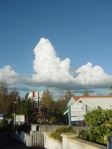
New low has developed in the NW Tasman sea yada. Thunderstorms developing tomorrow for all of Northland, and that same region (Auckland/Coromandel/Waikato) should see thunderstorms through on Wednesday as well as Northland. Northeast breezes tomorrow for AK, tending norherly on Wednesday. Main frontal band due tomorrow night delivering rain.
Westerly change on Thursday should see heavy showers across the upper North, winds turning gusty southwesterly on Friday with easing showers.
This wind must not tend E at all otherwise Eastern Coromandel is in for another hammering