Convective Possibilities, North Island - 9,10,11 Feb 07

Archive of NZ Weather & Climate
Forum rules
These topics are a read-only archive and may be subject to out-of-date information.

For today's weather discussion head to: New Zealand Weather & Climate
C-Nimbus
Posts: 692
Joined: Tue 20/01/2004 13:22
Location: Waitakere City - Westie!!
Has thanked: 0
Been thanked: 0

Convective Possibilities, North Island - 9,10,11 Feb 07

Unread post by C-Nimbus »

Thought i'd start a new thread as the easterlies will dye off over the next coupla days.

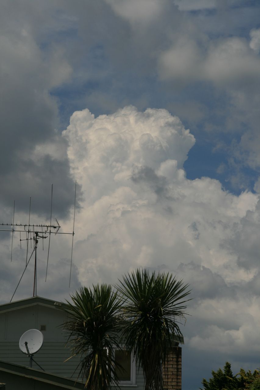
Sooo, possibility of convective activity, probably more in in-land areas again, but maybe also auckland and Northland.

I think sundee looks best for us. 8)

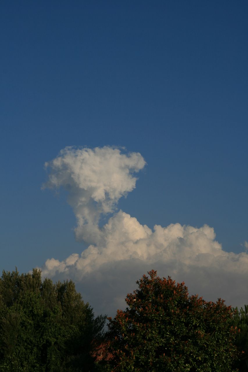
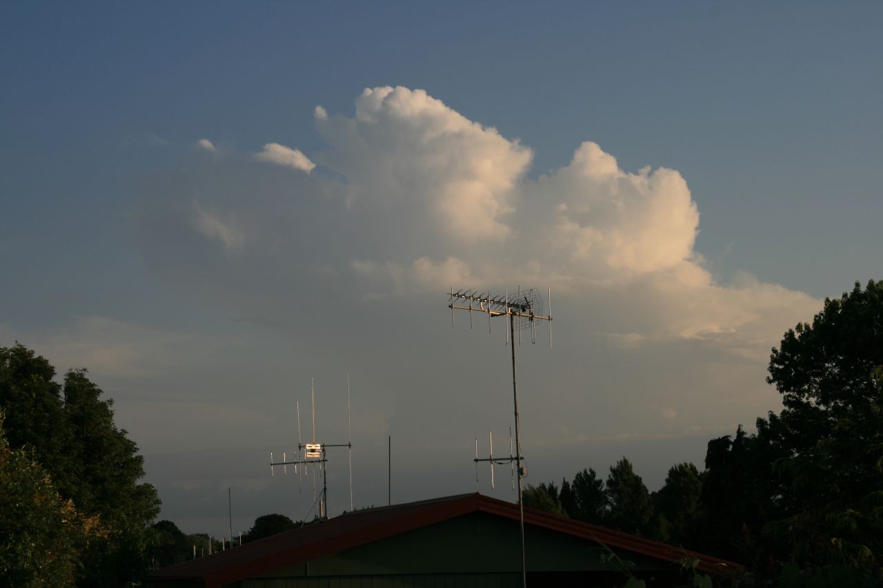
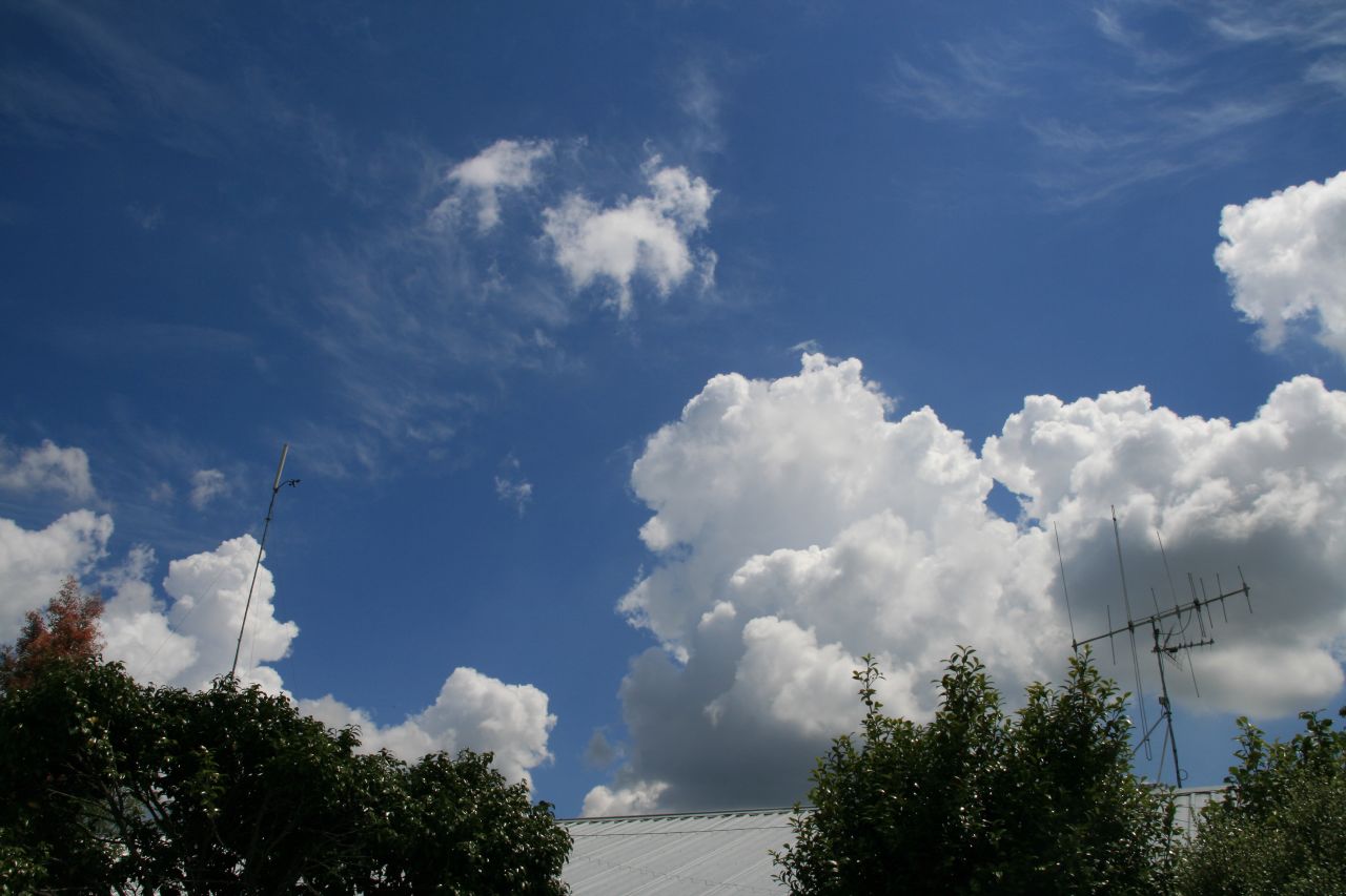
also should be some good buildups today, hopefully more out west than usual. Sposedly this should lead to some possibly heavy showers later on.

comments anyone?
User avatar
Willoughby
Site Admin
Posts: 4433
Joined: Sat 14/06/2003 16:18
Location: Darwin, Australia: Storm city
Has thanked: 264 times
Been thanked: 288 times
Contact:

Unread post by Willoughby »

No heat showers around today.. air is dry on yesterday.

Hardly a breath of wind today, max gust so far just 14km/h.

Should be some Cbs developing this evening to the south though..
spwill
Posts: 9925
Joined: Sun 29/06/2003 22:39
Location: Mt Eden Auckland
Has thanked: 860 times
Been thanked: 872 times

Unread post by spwill »

17C dewpoints here and 26C, some Cu trying to build over provincial South Auckland so perhaps heat showers there later.
User avatar
NZstorm
Posts: 11333
Joined: Mon 10/03/2003 19:38
Location: Grey Lynn, Auckland
Has thanked: 342 times
Been thanked: 361 times

Unread post by NZstorm »

Cb's developing down around Tokoroa.

Hawkes Bay looks good to me for a decent thunderstorm.

Yes, the dps at Auckland just a bit low today for convection, given our warm upper air. 500mb -13C NZWP 00Z.
Achten
Posts: 141
Joined: Thu 20/03/2003 20:57
Location: Hawkes Bay
Has thanked: 0
Been thanked: 19 times
Contact:

Unread post by Achten »

A couple of cb's formed south of me with thunder heard, but that is it at this stage.
User avatar
Willoughby
Site Admin
Posts: 4433
Joined: Sat 14/06/2003 16:18
Location: Darwin, Australia: Storm city
Has thanked: 264 times
Been thanked: 288 times
Contact:

Unread post by Willoughby »

Some Cb's have developed to the south.

T/Cu losing some updraft...
Image

Cb
Image
(Clicky) :)

136mm zoom into the tops...
Image
Achten
Posts: 141
Joined: Thu 20/03/2003 20:57
Location: Hawkes Bay
Has thanked: 0
Been thanked: 19 times
Contact:

Unread post by Achten »

Thunder here again now, very nice nice display. Looks to be west of Hastings at the moment.
dija
Posts: 106
Joined: Sun 22/10/2006 23:06
Location: Turakina, Wanganui
Has thanked: 0
Been thanked: 0
Contact:

Unread post by dija »

nothing exciting to report here in the Manawatu/Wanganui today.
Just another hot day, max 26.8° and no sign of any heat downpours, all clear.
Image
User avatar
Willoughby
Site Admin
Posts: 4433
Joined: Sat 14/06/2003 16:18
Location: Darwin, Australia: Storm city
Has thanked: 264 times
Been thanked: 288 times
Contact:

Unread post by Willoughby »

Anyone keen for a chase today? :D

Looks like it'll be a good day today with conditions becoming unstable over basin Waikato.. first it may start to fire up SE Waikato around Matamata.. activity to move slowly northwards as a second convergance line will trigger around King Country later.. could get interesting.

I'm not suprised Paul and co upgraded the classing to the chances of 'severe' today.. :P

Bring it on!!! \:D/
Paul Mallinson
Meteorologist (Retired)
Posts: 406
Joined: Thu 27/10/2005 20:44
Location: Greytown
Has thanked: 2 times
Been thanked: 7 times

Unread post by Paul Mallinson »

Foggy Hamilton wrote:Anyone keen for a chase today? :D

Looks like it'll be a good day today with conditions becoming unstable over basin Waikato.. first it may start to fire up SE Waikato around Matamata.. activity to move slowly northwards as a second convergance line will trigger around King Country later.. could get interesting.

I'm not suprised Paul and co upgraded the classing to the chances of 'severe' today.. :P

Bring it on!!! \:D/
Hi foks,

I made an error on the chart. The severe thunderstorm area risk is HIGH.

Paul
User avatar
Willoughby
Site Admin
Posts: 4433
Joined: Sat 14/06/2003 16:18
Location: Darwin, Australia: Storm city
Has thanked: 264 times
Been thanked: 288 times
Contact:

Unread post by Willoughby »

Ahh, yeah was thinking that was a little odd. :D
spwill
Posts: 9925
Joined: Sun 29/06/2003 22:39
Location: Mt Eden Auckland
Has thanked: 860 times
Been thanked: 872 times

Unread post by spwill »

Anyone keen for a chase today?
I might head south this afternoon but will have to finish up early 5pm.
C-Nimbus
Posts: 692
Joined: Tue 20/01/2004 13:22
Location: Waitakere City - Westie!!
Has thanked: 0
Been thanked: 0

Unread post by C-Nimbus »

we're going bow fishing for koi carp today in the waikato area so will hopefully be in the area of max action!!!


woo-hooo! loves days like this, its got that explosive feel about today :D
User avatar
NZstorm
Posts: 11333
Joined: Mon 10/03/2003 19:38
Location: Grey Lynn, Auckland
Has thanked: 342 times
Been thanked: 361 times

Unread post by NZstorm »

Warming up nicely this morning, already 23.2C in Grey Lynn, Dp18.3C.
C-Nimbus
Posts: 692
Joined: Tue 20/01/2004 13:22
Location: Waitakere City - Westie!!
Has thanked: 0
Been thanked: 0

Unread post by C-Nimbus »

already some nice T/Cu beginning to form on what is presumably a sea breeze.

these are out to the NW of me in henderson.
Manukau heads obs
Posts: 12305
Joined: Mon 10/03/2003 16:30
Location: West Coast Road, Manukau Peninsula, North Island
Has thanked: 0
Been thanked: 0
Contact:

Unread post by Manukau heads obs »

yes, looking good already NW of auckland
Image
Brian Hamilton, weather enthusiast. My weather dataEmail: [email protected]
User avatar
Willoughby
Site Admin
Posts: 4433
Joined: Sat 14/06/2003 16:18
Location: Darwin, Australia: Storm city
Has thanked: 264 times
Been thanked: 288 times
Contact:

Unread post by Willoughby »

Cu starting to go up like rockets and mushrooms already!!

All you Aucklanders should meet here in Hamilton ;)

Vis sat shows clearing stratiform pushing up against the Central Plateau leading to less inhibition over the Waikato.. now we just need some added convergance!
GreggWard
Posts: 434
Joined: Wed 12/03/2003 22:09
Location: Palmerston North
Has thanked: 160 times
Been thanked: 5 times

Unread post by GreggWard »

With respect to the Waikato area, the Airways IFIS area forecast has the TCU/CBs developing from 14:00 about inland ranges north of Mokau, then drifting west. The Hamilton TAF has the heavy showers/thunderstorms affecting Hamilton from 17:00 - 22:00:


TE KUITI ARFOR (TK):

ARFOR TK VALID 2200 TO 1100 UTC
BECOMING BTN 0600-0900Z
1000 15005 10015
3000 12005 08010
5000 10005 PS10
7000 13005 PS07
10000 20005 PS02
FZL 11500FT
VIS 30KM, REDUCING TO 4000M IN SHRA, 2000M IN +SHRA/TSRA/SHRAGS.
CLD AREAS BKN TCU/CB 3000 TOPS ABV 10000 DEVELOPING FM 0100Z ABT
INLAND RANGES NORTH OF MOKAU AND SLOWLY DRIFTING WEST,
BECMG AREAS BKN CUSC 4000 TOPS 8000 SOUTH OF NZHN AFTER 0800Z
.
WX FEW SHRA AND ISOL +SHRA/TSRA/SHRAGS DEVELOPING AFTERNOON
NORTH OF MOKAU, CLEARING EVENING SOUTH OF NZHN.
TURB ISOL MOD BLW 5000FT ABT TARANAKI.
REMARK SOUTHEAST WINDS 15-20KT STRONGER BLW 5000FT ABT TARANAKI,
EASING AFTER 0700Z.=


TAF NZHN 092029Z 092011
10005KT 30KM FEW030
TEMPO 0409 4000 +SHRA SCT030CB
2000FT WIND 19010KT
BECMG 2301 10005KT
BECMG 0709 12015KT =
ricky
Posts: 1054
Joined: Sun 28/09/2003 21:27
Location: Grey Lynn, Auckland
Has thanked: 489 times
Been thanked: 40 times
Contact:

Unread post by ricky »

I may head out a bit later :) ... once I've sorted out some gear for work 021 749549 if anyone else is on the road be good to hear from you
Image
C-Nimbus
Posts: 692
Joined: Tue 20/01/2004 13:22
Location: Waitakere City - Westie!!
Has thanked: 0
Been thanked: 0

Unread post by C-Nimbus »

...so were in for an evening lightning show then!

be a great day to be in the king country/south waikato area.

we're leaving in about an hour. Plan is to head to mercer to shoot some koi, then over to Te Aroha way on SH27, then down through Tirau and possibly over to Te Kuiti via Te Awamutu.

will take a camera, so hopefully some pics up 2moro

have fun everyone and please drive carefully ;)
Paul Mallinson
Meteorologist (Retired)
Posts: 406
Joined: Thu 27/10/2005 20:44
Location: Greytown
Has thanked: 2 times
Been thanked: 7 times

Unread post by Paul Mallinson »

First lightning strikes have just occurred nwrn Coromandel Peninsula.

Wind convergence zone has formed down through eastern Waikato across to between Tauranga and Rotorua and eastward to just inland of Whakatane. Sea breeze convergence is forming along the coast from Waikato down to north Taranaki.

Paul
User avatar
Willoughby
Site Admin
Posts: 4433
Joined: Sat 14/06/2003 16:18
Location: Darwin, Australia: Storm city
Has thanked: 264 times
Been thanked: 288 times
Contact:

Unread post by Willoughby »

Things are strongly heating up in the vicinity...
Image

Image

Long time since ive seen such exploding convection like this so far...
Last edited by Willoughby on Sun 18/03/2007 23:44, edited 1 time in total.
User avatar
NZstorm
Posts: 11333
Joined: Mon 10/03/2003 19:38
Location: Grey Lynn, Auckland
Has thanked: 342 times
Been thanked: 361 times

Unread post by NZstorm »

Soe nice punchy T/cu around Auckland now. CB's to far east. (Coromandal)

Temp now 26C, dp18C.
Manukau heads obs
Posts: 12305
Joined: Mon 10/03/2003 16:30
Location: West Coast Road, Manukau Peninsula, North Island
Has thanked: 0
Been thanked: 0
Contact:

Unread post by Manukau heads obs »

top of that coromandel CB from here....nice cap clouds being broken
You do not have the required permissions to view the files attached to this post.
Image
Brian Hamilton, weather enthusiast. My weather dataEmail: [email protected]
User avatar
NZstorm
Posts: 11333
Joined: Mon 10/03/2003 19:38
Location: Grey Lynn, Auckland
Has thanked: 342 times
Been thanked: 361 times

Unread post by NZstorm »

That SW breeze will keep the weather dry over Auckland as you suggested earlier Brian. It cuts out the sea breezes.
Locked