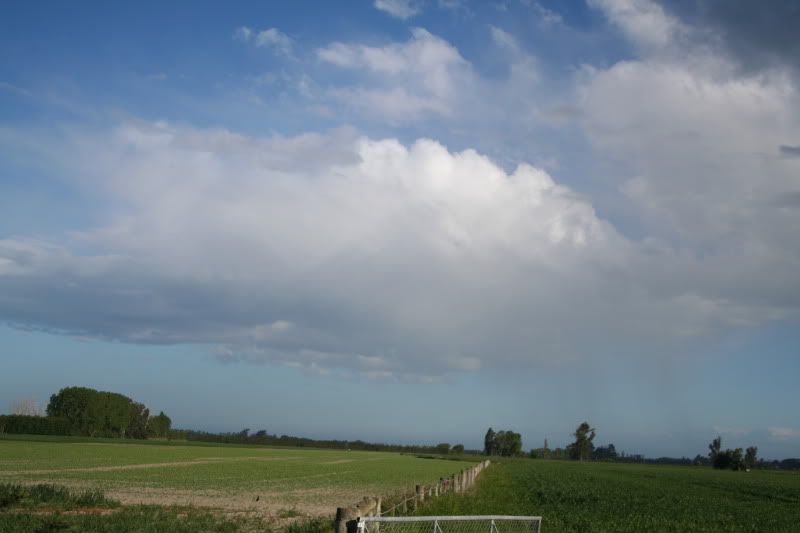
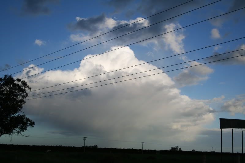
NO. It was looking south or SE from here but the cloud-forms did roll out from TC.mikestormchaser wrote: was that thunderstorm corner those pictures John? :LOL:
JohnGaul
NZThS
NO. It was looking south or SE from here but the cloud-forms did roll out from TC.mikestormchaser wrote: was that thunderstorm corner those pictures John? :LOL:

Cheers, Mate! We sure are! John and I are the ISOTRALAS club too!DT-NZ wrote:Awesome pics Andrew and Johnyea!!!! great to see storm pics again ... thank you - kinda going thru withdrawels... anyway... you guys are DT awesome T (dedicated thunderstorm trackers) along with Aaron and 03 who tracked and chased this evening... take care.


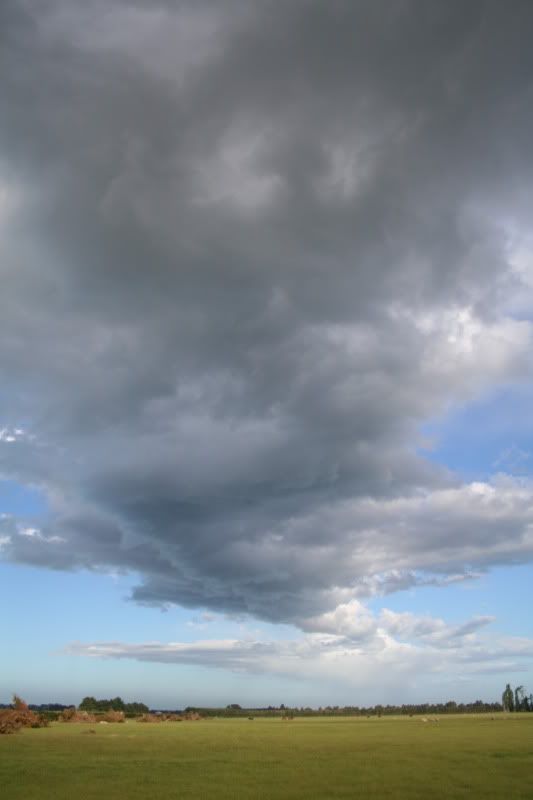
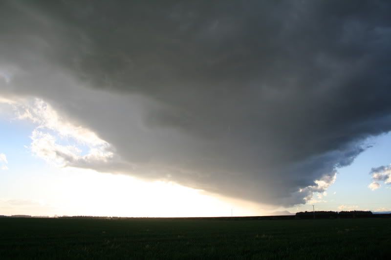
I think the dry westerlies down to about 850mb are good for instability and one of the reasons why Canterbury is so prone to severe hail in late spring/early summer. The Alps ensure that upper flow is dry.It goes to show that thunderstorms can still trigger even with the dry westerlies aloft.


Good idea. I have also snipped out the southerly change event from Friday. Nice pics Jason and Steve!Jasestorm wrote:I thought i would create a new topic so its easier for future reference finding instead of being in general weather which it definatly wasnt.
Perhaps the mods could move the comments from everyone about yesterdays happenings into here from the general November topic.
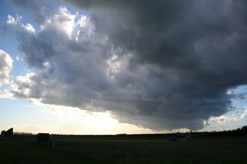
tbh not 100% sure, probably around 730ish......Paul Mallinson wrote:Stormchaser, what was the time of that last picture you added (the one of the hail producing storm)?
Paul

Absolutely, and its the dedication and passion in chasing storms that comes through, and, everyone gets caught up in it (well I doAndrew Massie wrote: Cheers, Mate! We sure are! John and I are the ISOTRALAS club too!
