Page 2 of 2
Re: Cold spell September 5-7
Posted: Sun 06/09/2015 08:44
by NZstorm
dogmelon wrote:Will El Niño mean more chances of thunderstorms on southerly changes like today?
The skill in forecasting will be picking the days that storms will actually occur.
Potentially more thunderstorms for Canterbury and less for most of NZ this spring/summer.
I see there is snow falling in Dunedin but not settling (Highgate cam). Perhaps the critical SW is taking the guts out of the showers. You need the full blast of the convection to knock the freezing level right down.
Re: Cold spell September 5-7
Posted: Sun 06/09/2015 09:26
by Bradley
Yep I think this turning into a very run of the mill September cold front, nothing 'unseasonal' about it all despite what the Metservuce were trying to hype up...
Re: Cold spell September 5-7
Posted: Sun 06/09/2015 10:03
by matttbs
Bradley wrote:Yep I think this turning into a very run of the mill September cold front, nothing 'unseasonal' about it all despite what the Metservuce were trying to hype up...
Agreed, wish I didn't make this thread as its turned out to be unworthy of its own topic
Re: Cold spell September 5-7
Posted: Sun 06/09/2015 10:10
by GSVNoFixedAbode
NZstorm wrote:
I see there is snow falling in Dunedin but not settling (Highgate cam). Perhaps the critical SW is taking the guts out of the showers. You need the full blast of the convection to knock the freezing level right down.
Started settling 30 minutes ago - this is at 180 metres,
opohosnow.jpg
Opoho
Re: Cold spell September 5-7
Posted: Sun 06/09/2015 10:29
by RichyDunedin
Snow settling here at around 150m. Very heavy showers with big flakes.
Re: Cold spell September 5-7
Posted: Sun 06/09/2015 10:51
by tich
Fresh snow on Mt Herbert. Showers in St Albans, Chch overnight, but sunny this morning.
Re: Cold spell September 5-7
Posted: Sun 06/09/2015 11:29
by Lacertae
Time-lapse from yesterday non-event tstorm warning for coastal Canterbury.

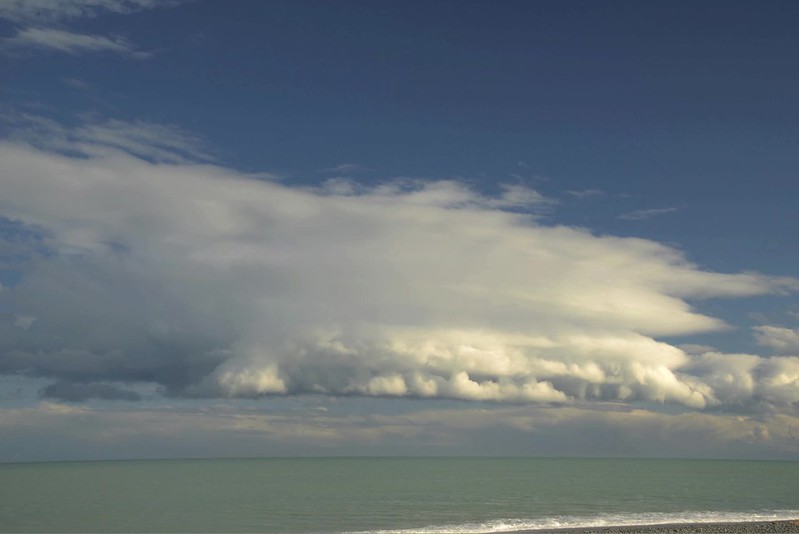 Gust front time-lapse
 by
Ben, on Flickr
Cold spell September 5-7
Posted: Sun 06/09/2015 19:45
by melja
DJI_0024-HDR.jpg
. Just a quick picture of the Mt white bridge area Arthur's pass from my aerial drone.
Bugger all snow in the end.
Cold spell September 5-7
Posted: Sun 06/09/2015 19:59
by melja
FHD0009.JPG
. Went to just above the bush line during the worst of the NW snow on Saturday, cleared long enough to get a crappy pic with a foggy lense.
Re: Cold spell September 5-7
Posted: Sun 06/09/2015 20:13
by Richard
melja wrote:DJI_0024-HDR.jpg
. Just a quick picture of the Mt white bridge area Arthur's pass from my aerial drone.
Bugger all snow in the end.
Thats a really nice photo for a drone
Re: Cold spell September 5-7
Posted: Sun 06/09/2015 20:27
by tich
Snow again forecast to sea-level on Chatham Islands tomorrow - 2nd time this year. (same latitude as Banks Peninsula, but highest point just short of 300m)
Re: Cold spell September 5-7
Posted: Mon 07/09/2015 09:46
by Bradley
That would have to go close to the driest strong cold change I have ever seen in Christchurch!